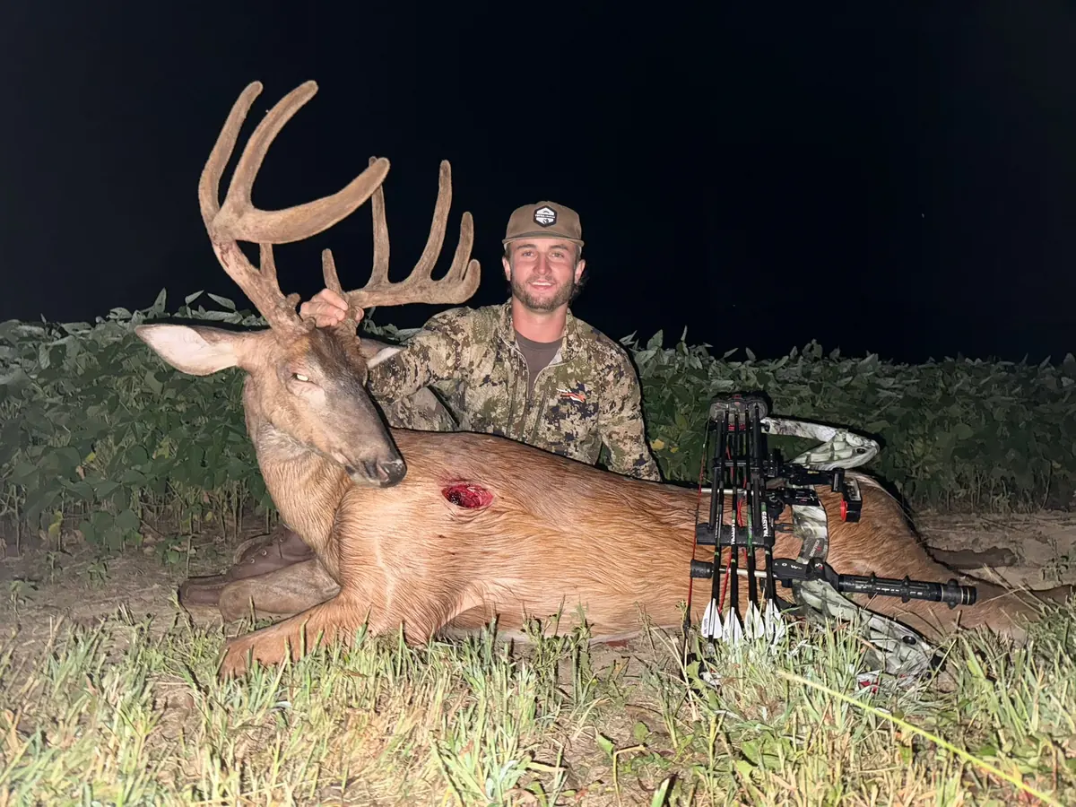
Meet Branson, your Middle Tennessee recovery pilot.
Branson is the pilot to call for your Middle Tennessee thermal drone deer search. He works with you to connect the details on the ground with a practical aerial search plan, using DJI Matrice 4T thermal imaging to bring another view to the recovery effort.
You speak directly with Branson about the hunt and the next step. Share the last sign, the direction your deer headed, and the ground you've already covered. Those details help set clear search priorities before the drone takes flight.
Follow the terrain from field edge to creek bottom.
Middle Tennessee properties often bring fields, rolling ground, timber, and drainage routes together. Branson plans around those connections, breaking the agreed search area into sections and choosing flight paths that give each section deliberate attention. Field edges, creek corridors, and transitions into timber become part of a connected search plan.
A methodical search of the ground that matters.
A thorough search starts with an organized plan. Branson works through the agreed area in sections, using overlapping views and returning to points that deserve a closer look. The goal is careful coverage of both the likely travel routes and the ground between them.
- Build the starting search area around your last sign and tracking notes.
- Plan connected passes across fields, timber edges, and rolling ground.
- Overlap adjoining sections to give transitions careful attention.
- Check points of interest and revisit areas for a closer view.
Put thermal technology behind your search.
The DJI Matrice 4T gives Branson thermal imaging to look for temperature differences and a visible-light camera to inspect points of interest. Combined with what you know about the hunt, those aerial views help guide a focused deer recovery search.